Information Signs on Irish Roads
50 signs, each with what it means and the rule behind it.All 50 signs
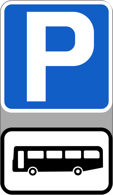
Bus parking
This sign marks an area where buses may be parked; the blue parking panel and bus symbol show who the space is for.
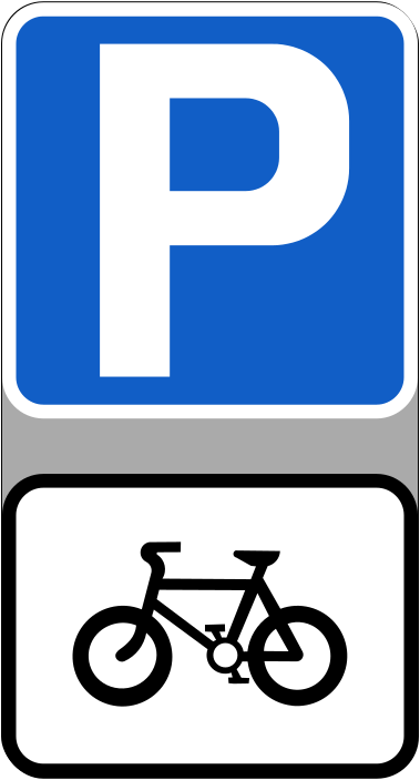
Cycle parking
The blue parking panel and bicycle symbol mark stands or a space set aside for cycles rather than cars, which is where bicycles belong.
Airport
An airport is here: an aeroplane on its own names the place instead of pointing anywhere.
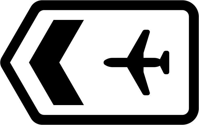
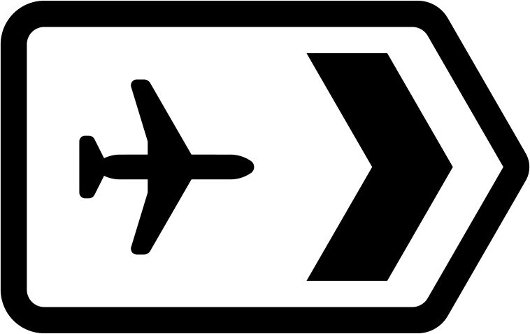
Airport to the left
The pointed end of the sign shows the way at the turn itself: turn left at this point for the airport.
Airport to the right
The chevron and aeroplane symbol on the sign point to the right, which is the road to take here for the airport.
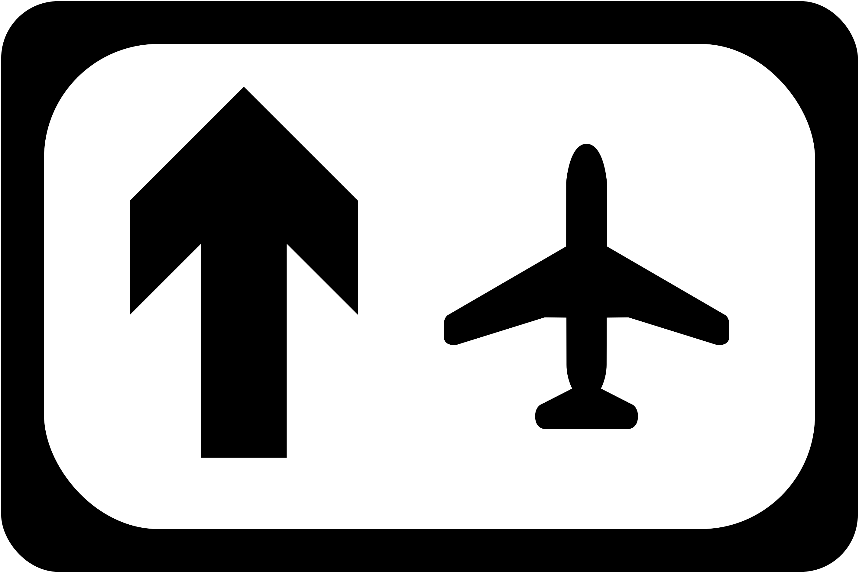
Airport straight ahead
Keep straight on for the airport, along the road you are already on: the upward arrow beside the aeroplane says the route carries on.
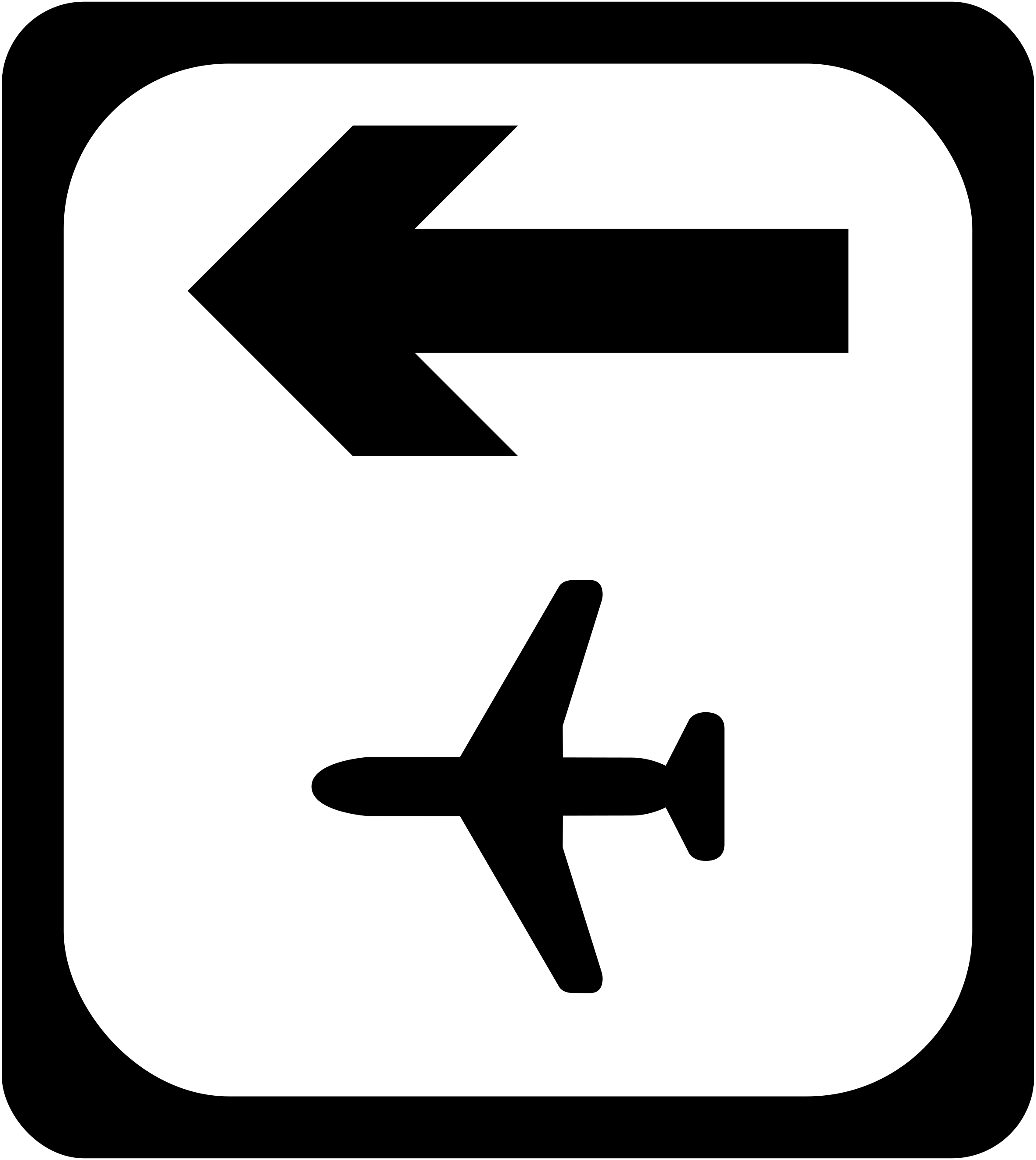
Airport, turn left ahead
The airport is signed along the road going off to your left, as the arrow beside the aeroplane shows.
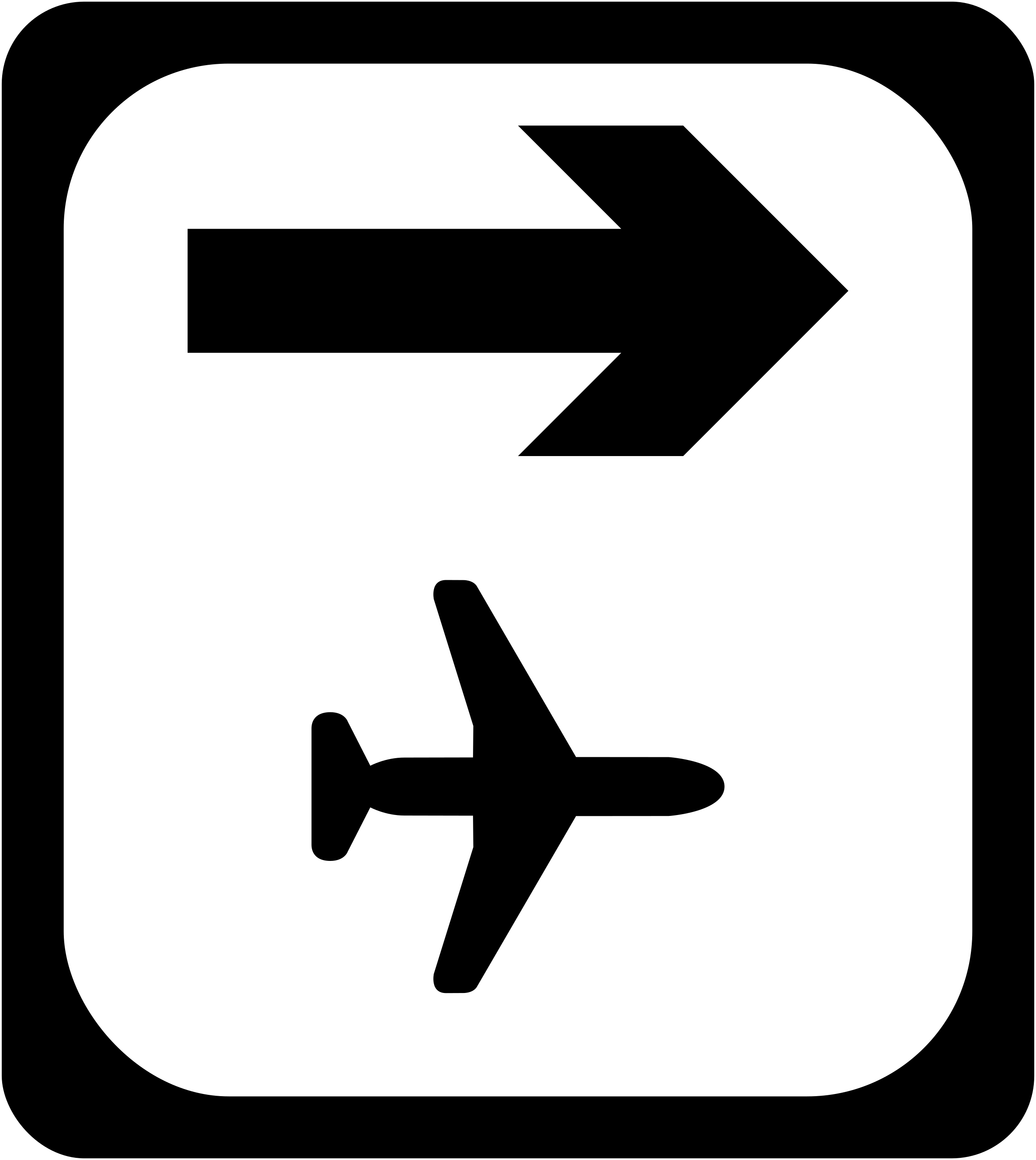
Airport, turn right ahead
The arrow above the aeroplane marks the road to the right, which is where the airport lies from this sign.
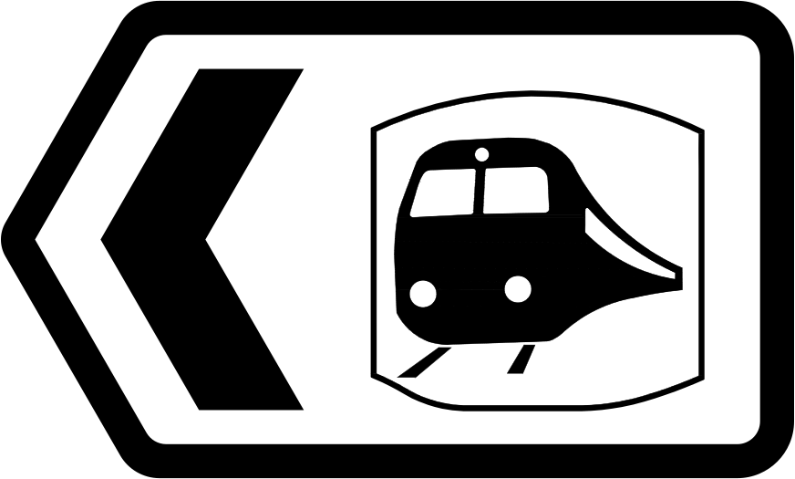
Railway station to the left
Trains are signed to the left here, and the sign with the pointed end marks the turn you take to reach the railway station.
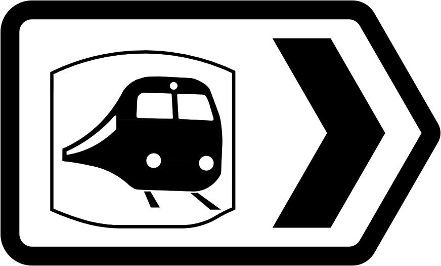
Railway station to the right
The train symbol on this pointed sign stands for the railway station, reached by taking the road to the right.
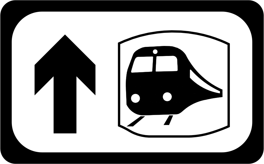
Railway station straight ahead
The station is signed along the road, as the upward arrow beside the train symbol shows: go straight on for the railway station.
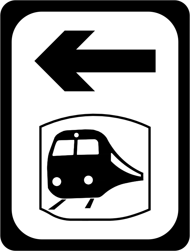
Railway station, turn left ahead
This sign tells you that the railway station is signed to the left at the junction you are coming up to.
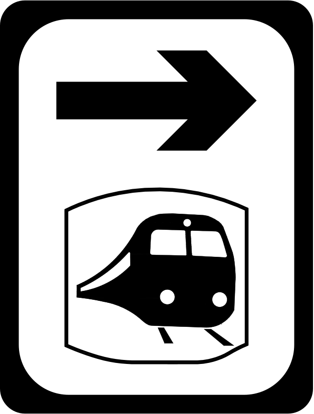
Railway station, turn right ahead
The railway station lies to the right from the junction you are coming up to, as the arrow and train symbol show.
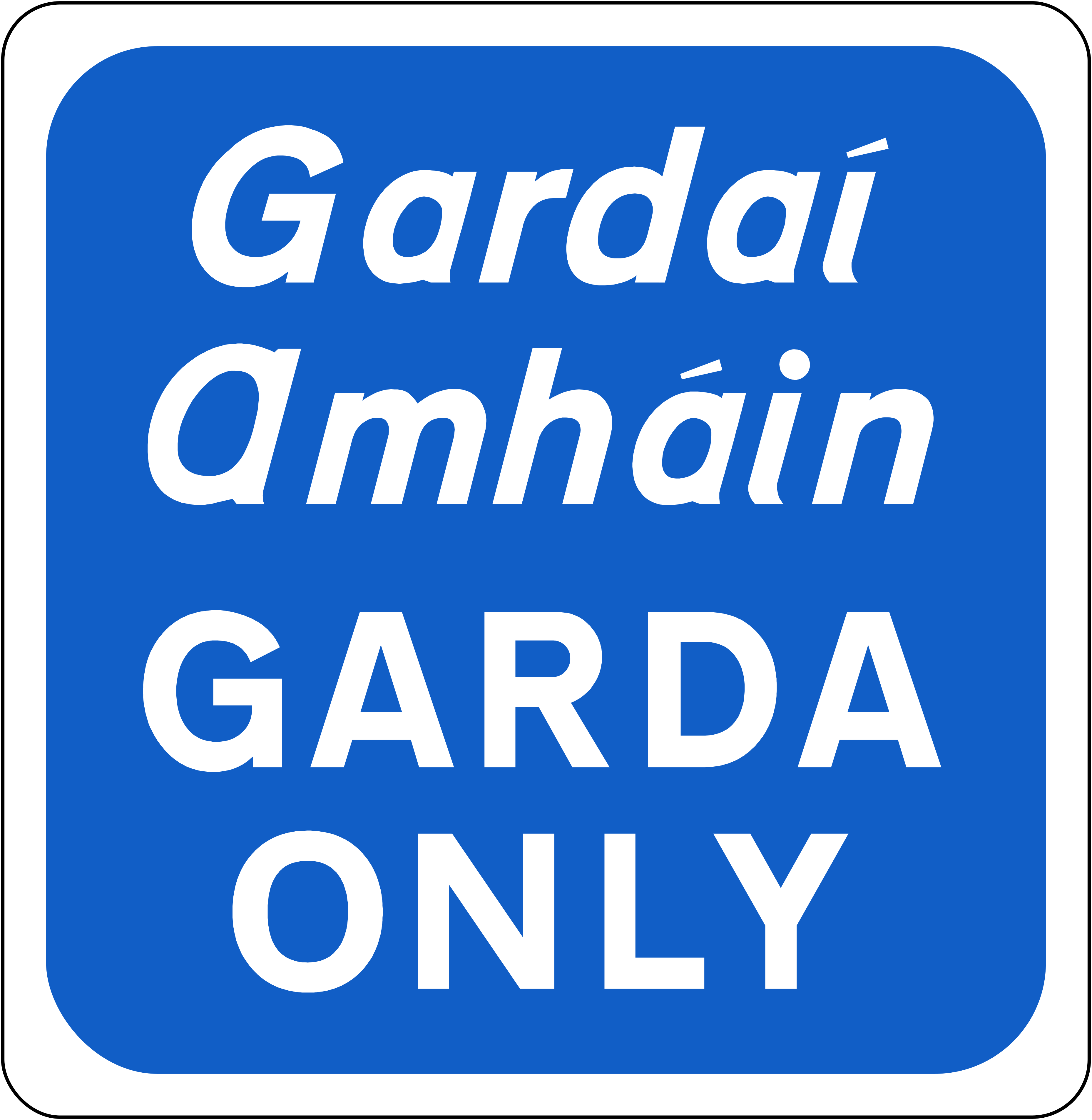
Garda vehicles only
Other drivers should carry on and park elsewhere, because only Garda vehicles may stop in the space this blue sign marks.
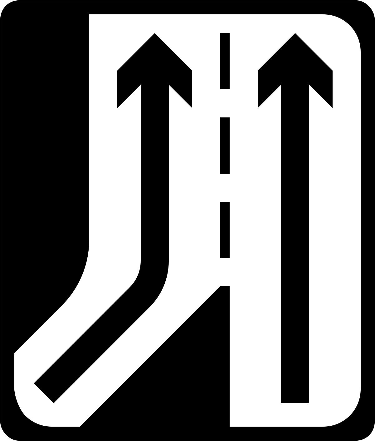
Extra lane joins from the left
Expect traffic coming in on your left as you pass: one lane becomes two where another lane joins from that side.
Direction signs come in hands: the L version and the R version are separate codes, and the chapter lists the run of them as available for use.
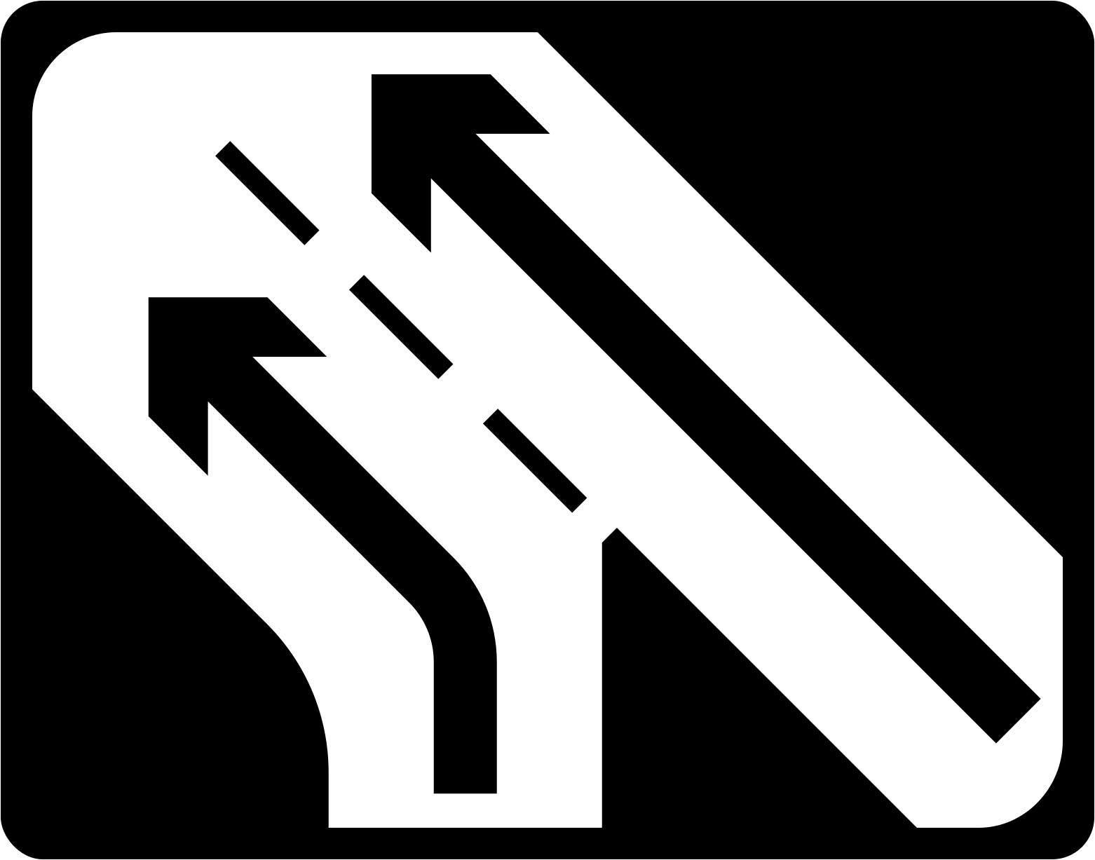
Extra lane joins from the right
The road widens from one lane to two for the stretch, where a second lane arrives from the right.
The hand is chosen by where the sign stands and where the turn goes, and the mirror image of the other hand is never the same sign.
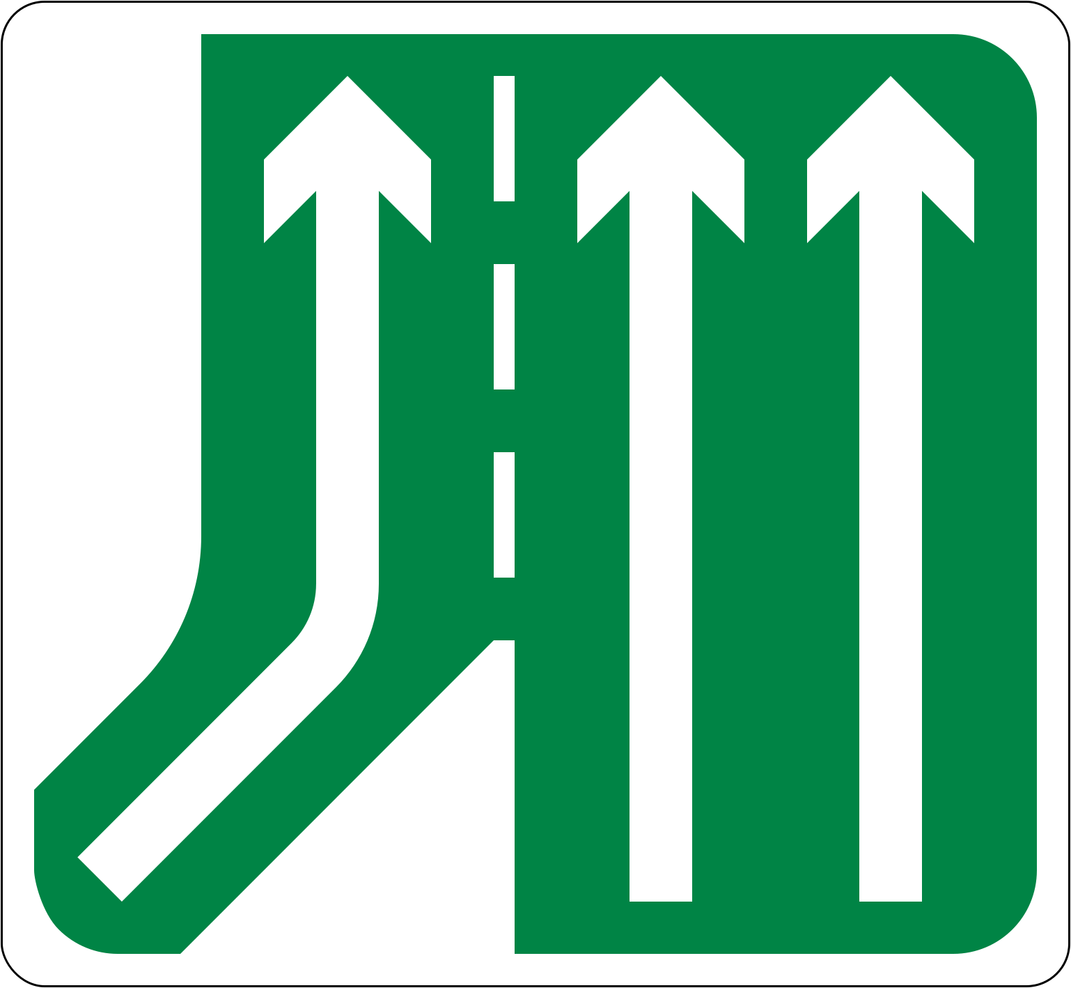
Third lane joins from the left
Two lanes grow to three where a new lane joins from the left.
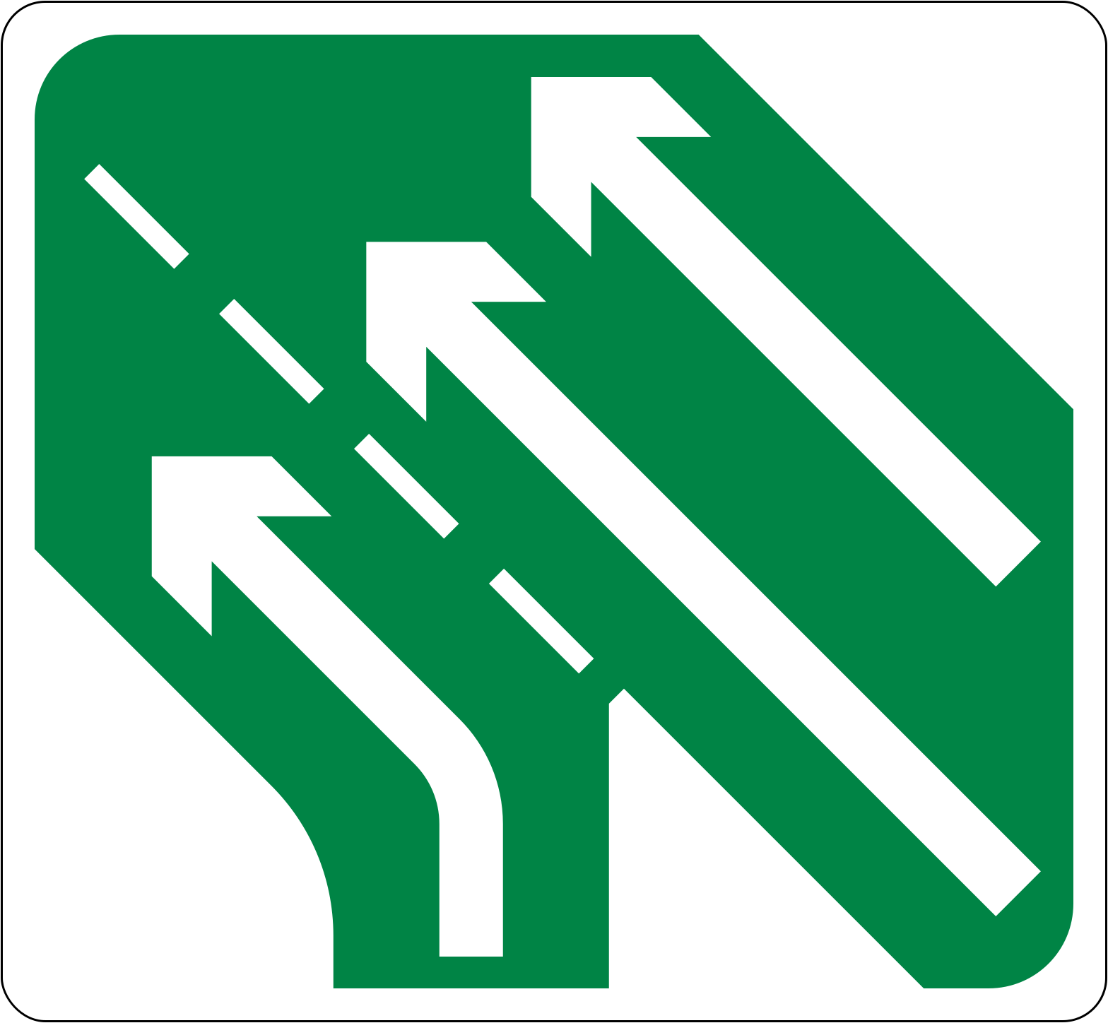
Third lane joins from the right
The road carries three lanes where you had two before the join, because a lane comes in from the right.
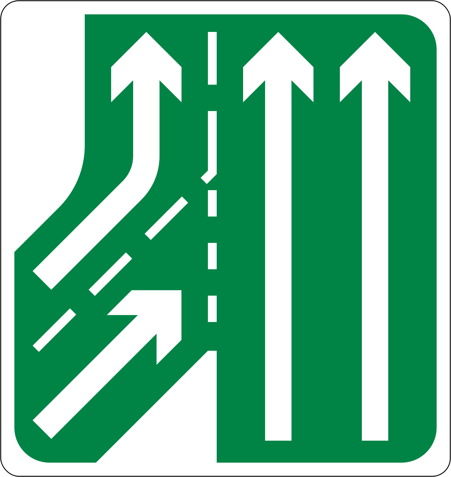
Lanes join from the left, left one runs on
With the left one of the pair carrying on as a full lane, three run on where two lanes join from the left.
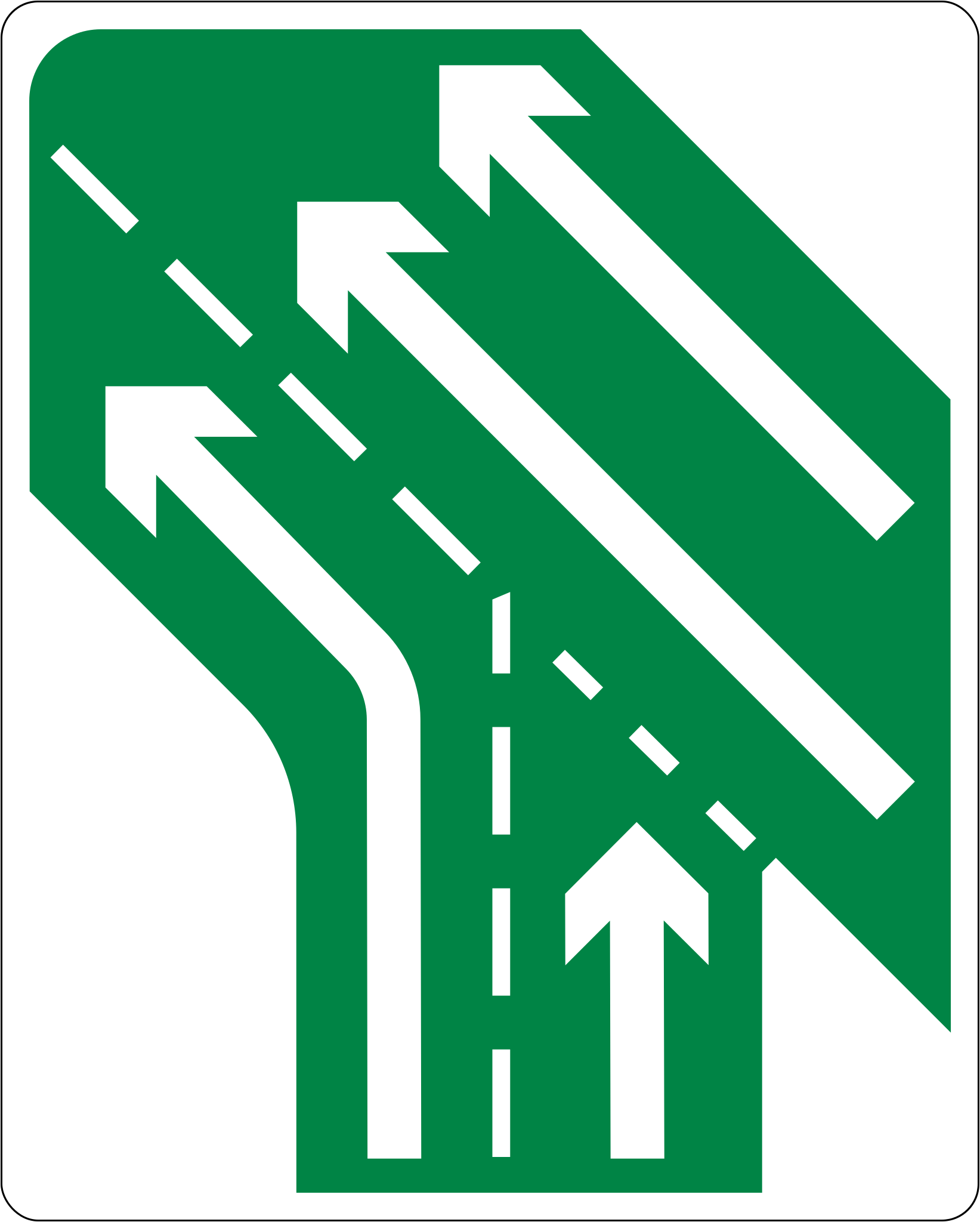
Lanes join from the right, left one runs on
Three continue where two lanes come in from the right, and the left of the joining lanes stays open as a running lane.
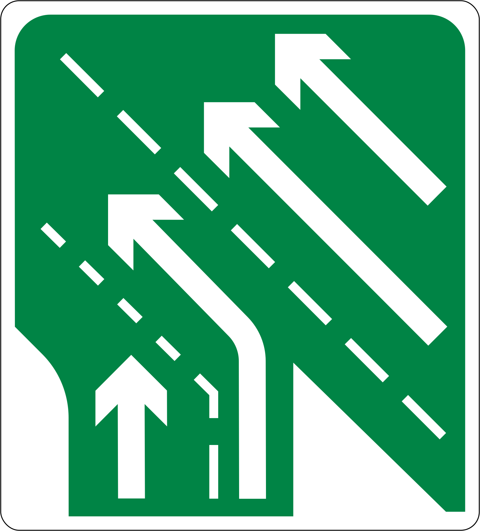
Lanes join from the right, right one runs on
This time the right-hand joining lane continues rather than ending, where lanes join from the right and three carry on.
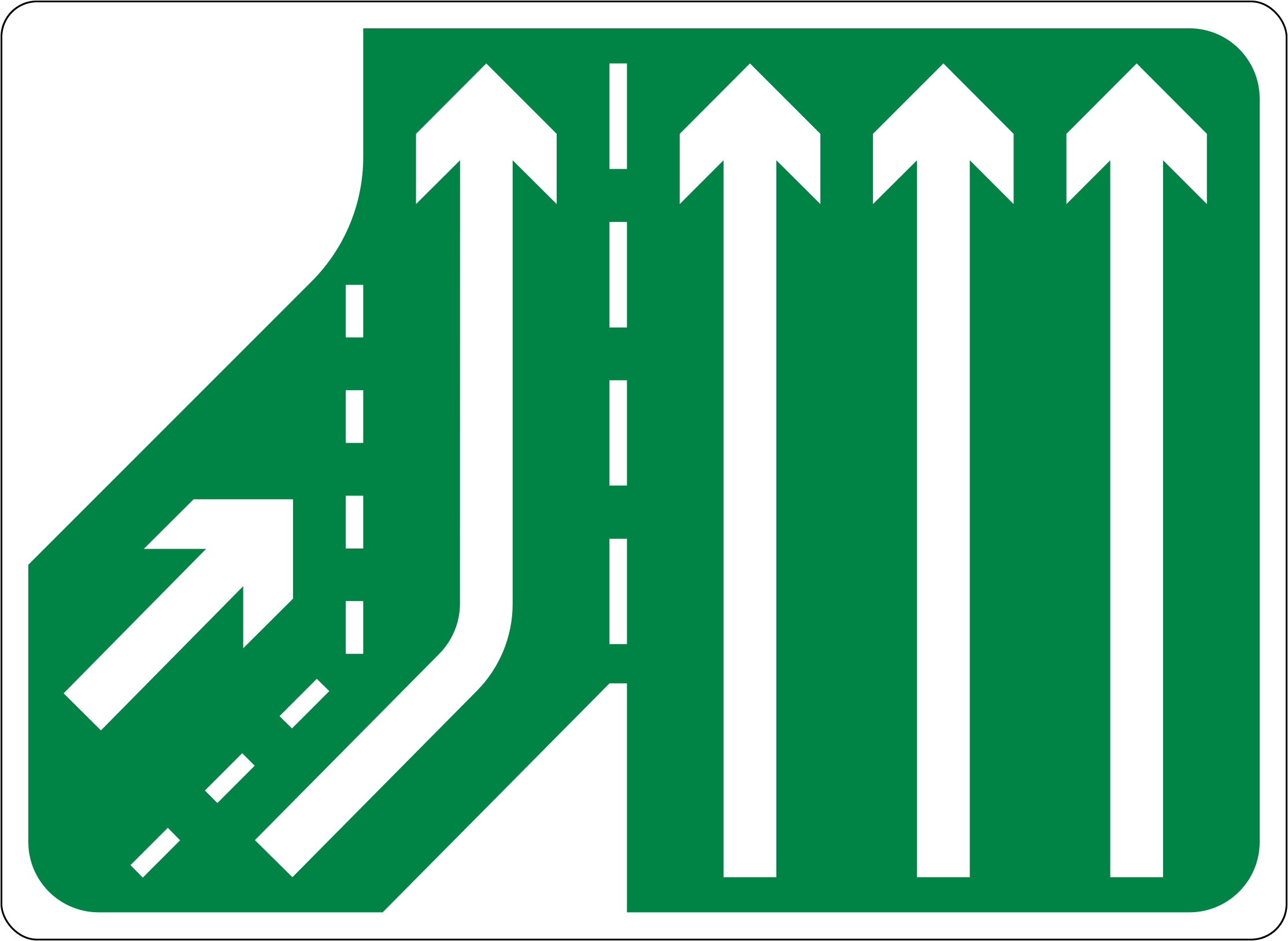
Lanes join from the left, right one runs on
It is the right-hand of the joining lanes that runs on where three lanes become four, with lanes joining from the left.
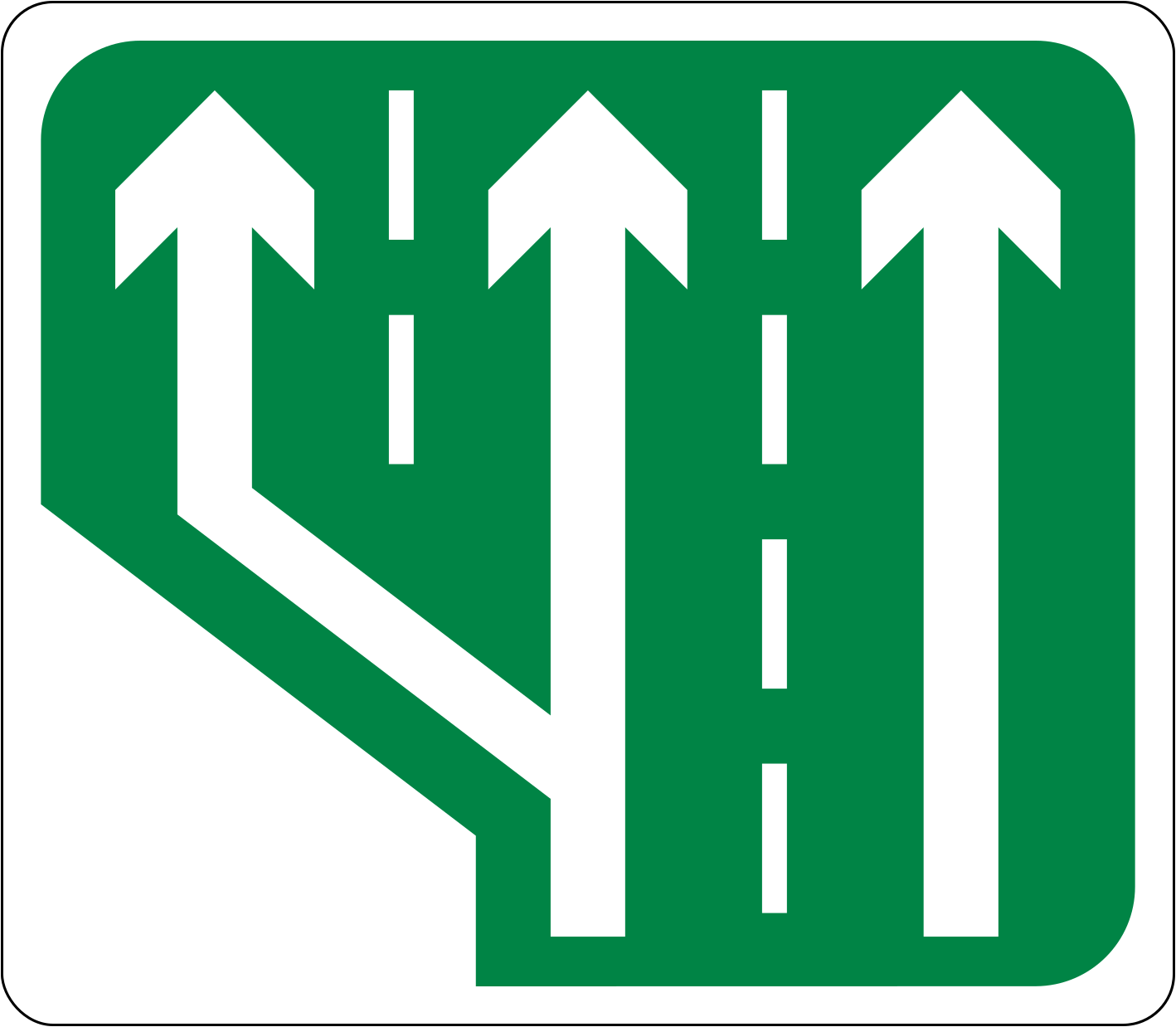
Extra lane opens between junctions
Between junctions the road widens from two lanes to three, opening an extra lane without any side road joining.
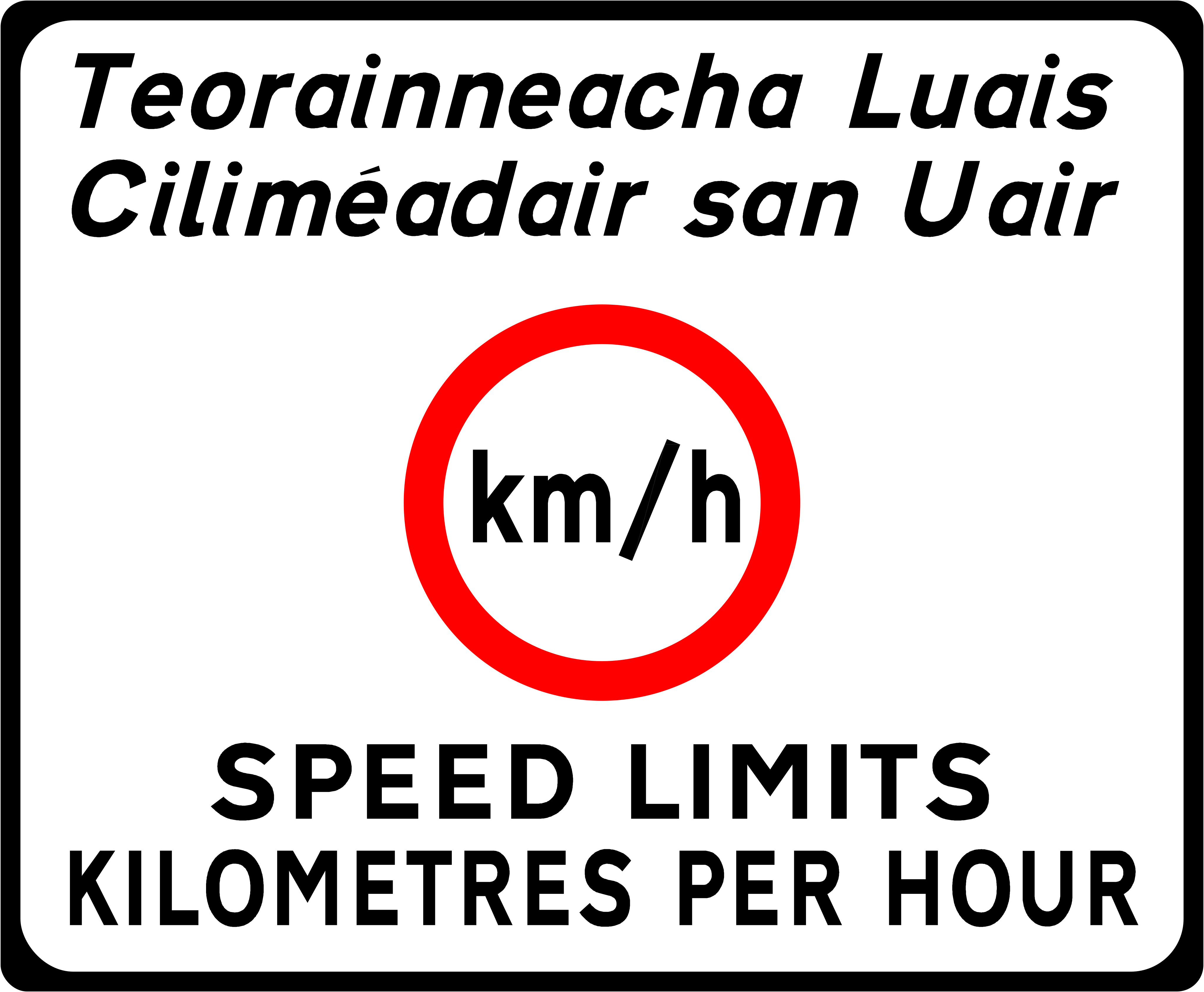
Speed limits are in kilometres per hour
Found at ports, airports and land crossings, it reminds arriving drivers that speed limits here are counted in kilometres per hour.
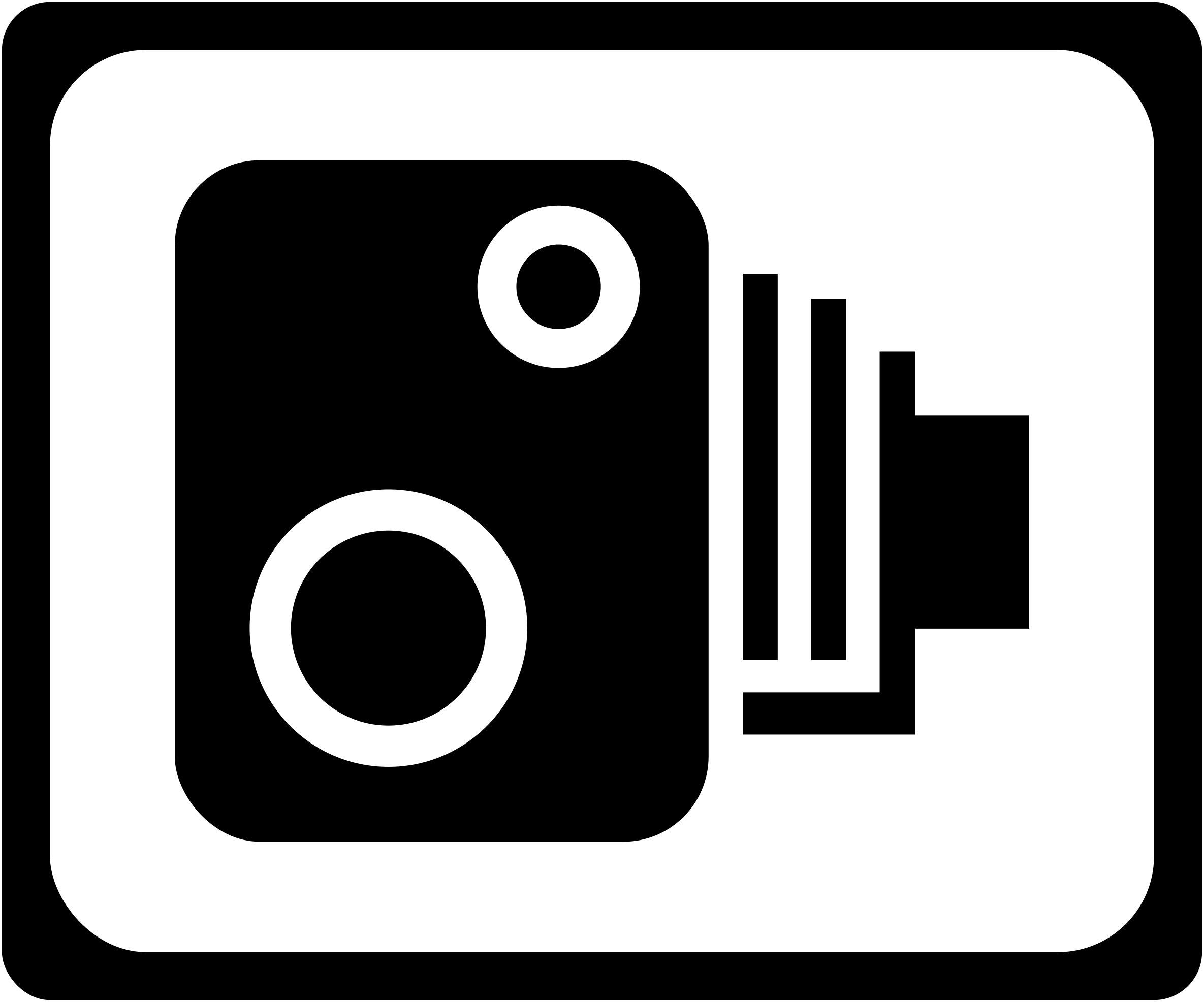
Speed camera
Keep to the limit that applies along this stretch: cameras check the speed of traffic on the road.
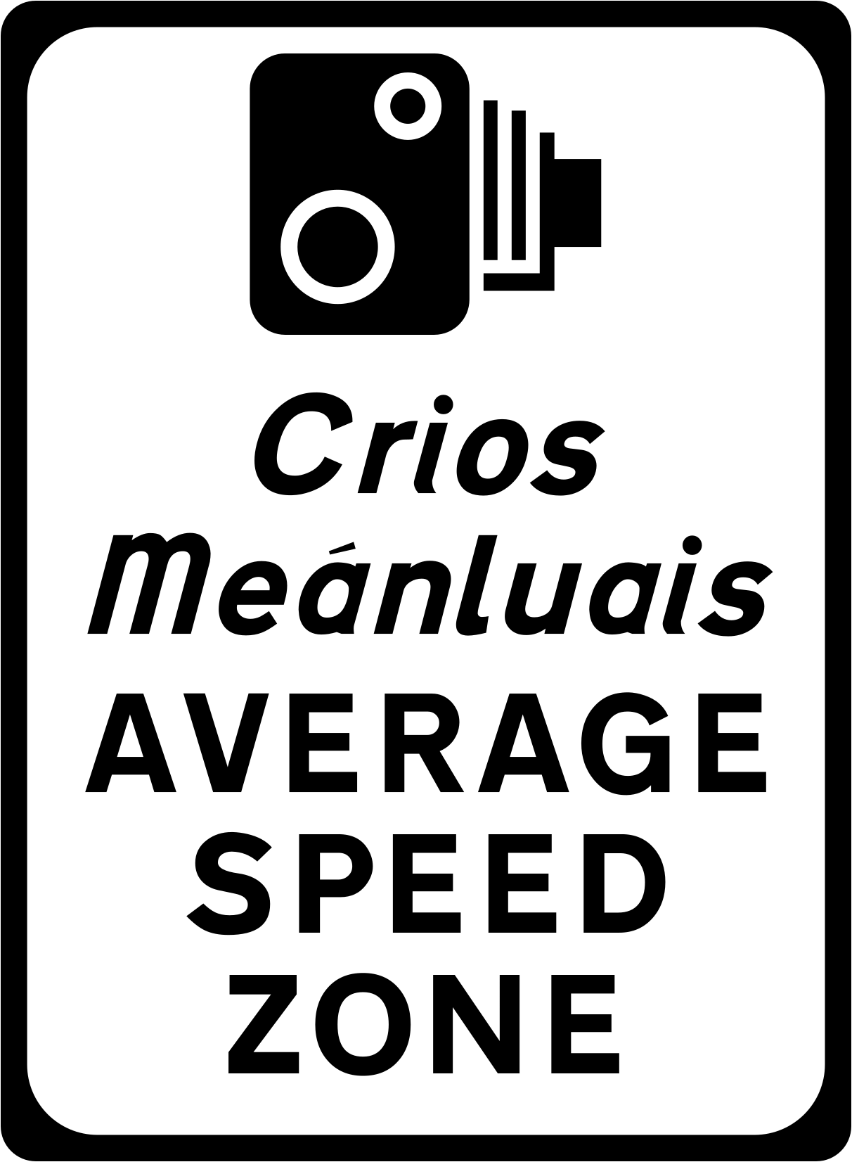
Average speed zone
What counts is your average over the stretch, because speed is measured across the whole zone rather than at a single point.
The other information signs chapter calls this the Average Speed Zone sign; it tells you how the road is policed, while the limit itself still comes from the speed limit signs prescribed in the Regulations.
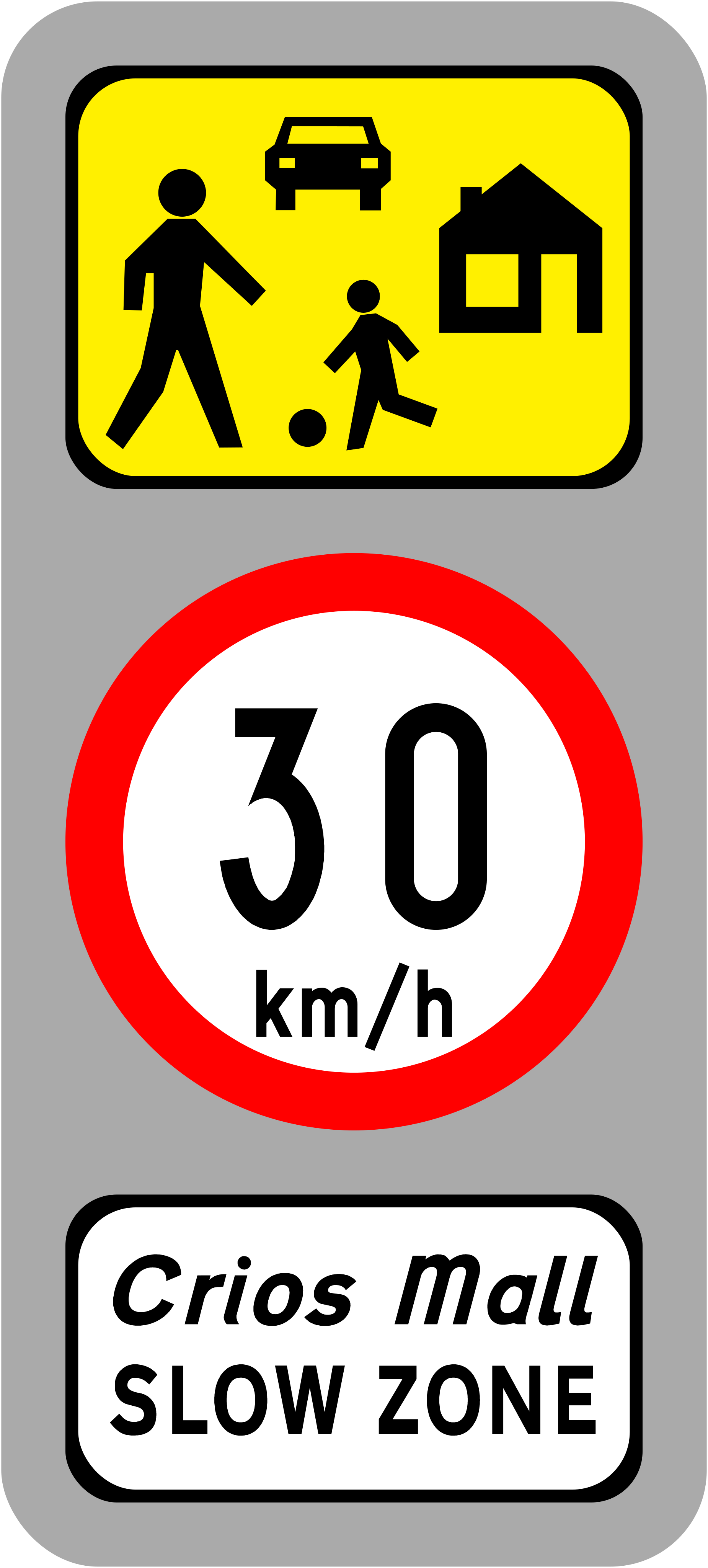
Slow zone, 30 km/h
The panel above shows homes and people on foot along the road, where a slow zone with a limit of 30 km/h starts.
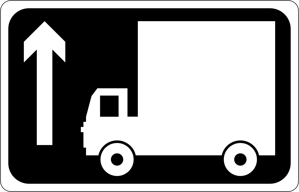
High vehicle route straight ahead
To stay on the route signed for them, drivers of high vehicles keep straight on from this point.
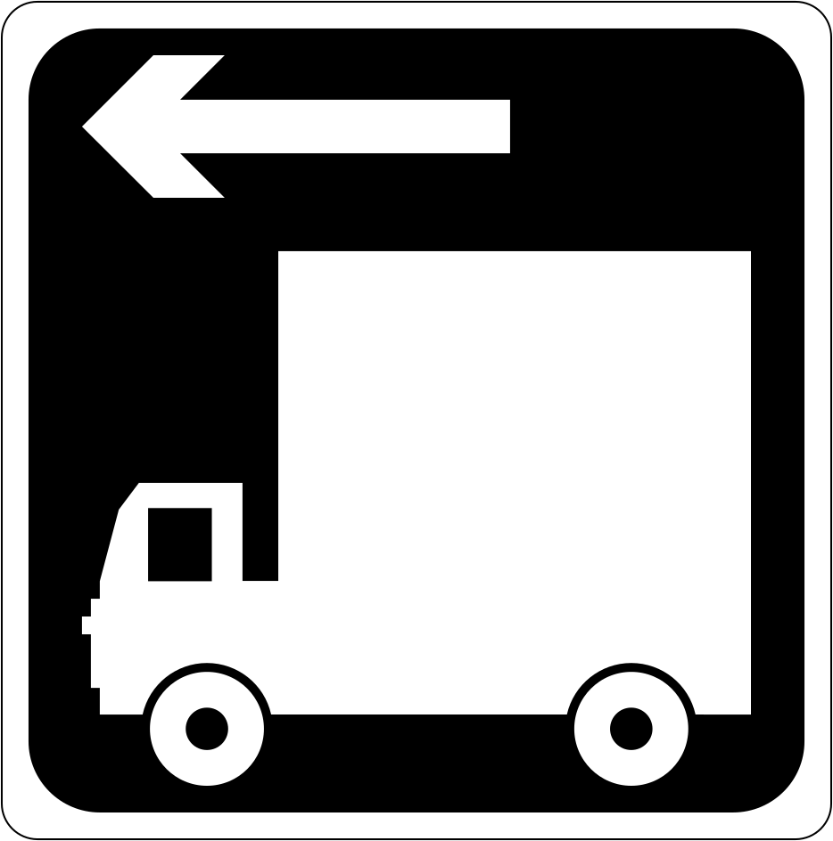
High vehicle route to the left
Get into position before you reach the turn: the route for high vehicles turns left at the junction.
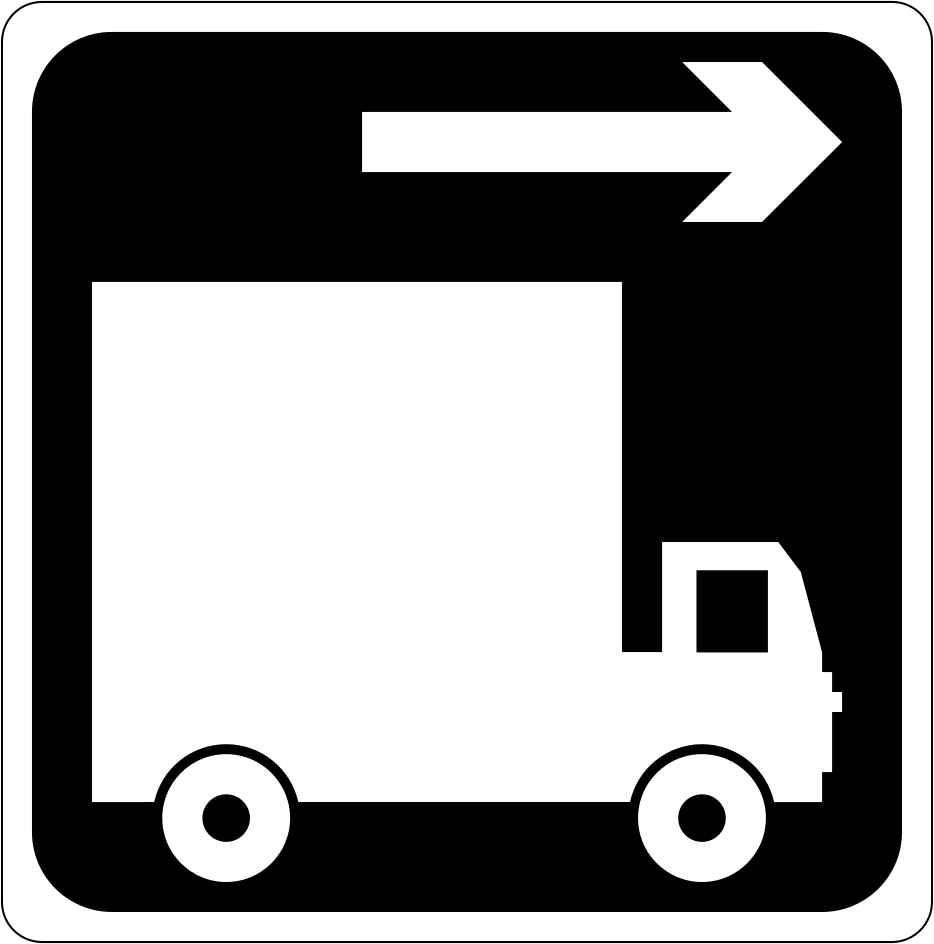
High vehicle route to the right
High vehicles are sent to the right, and the arrow over the lorry marks where their route leaves this road.
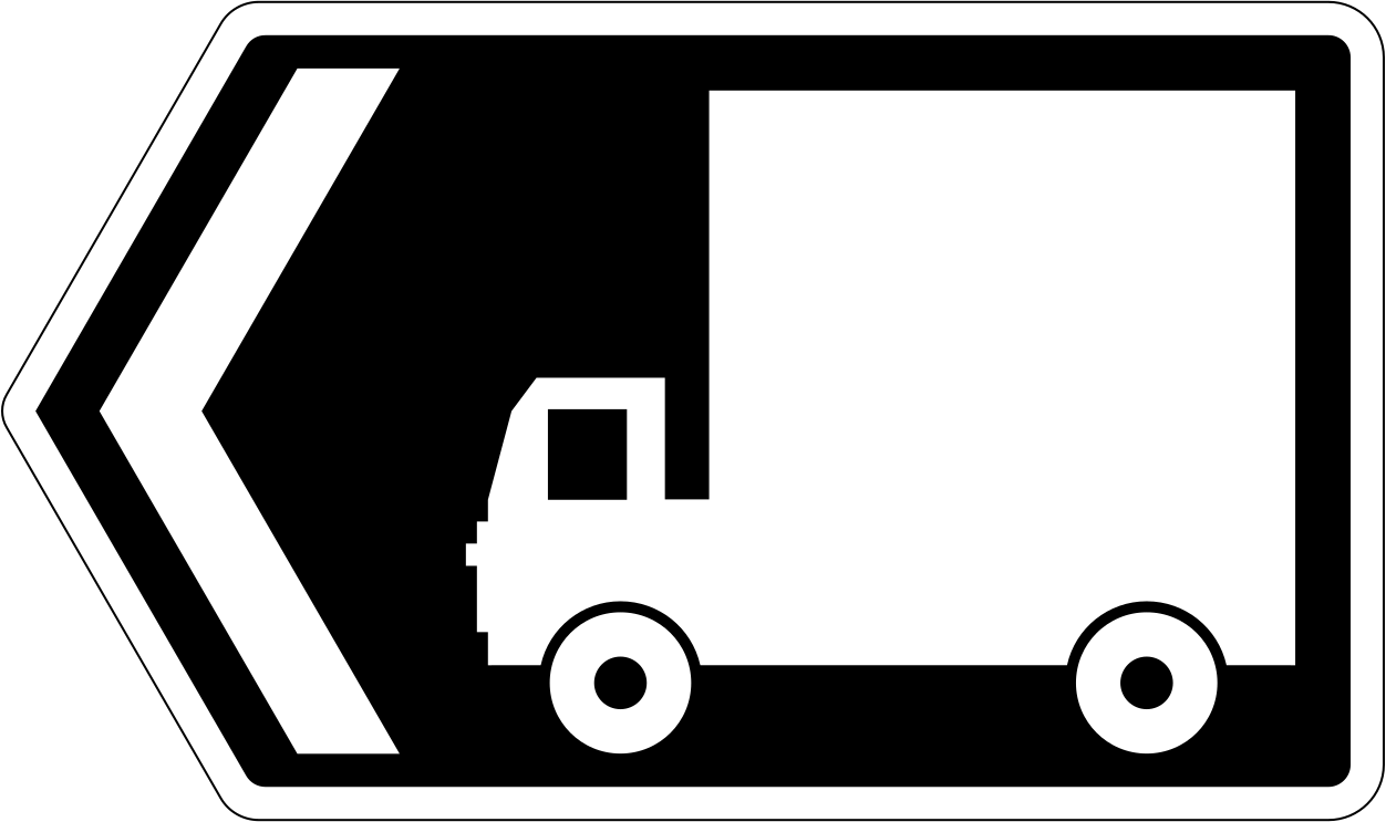
High vehicles turn left here
High vehicles turn left here; the pointed sign marks the turn itself rather than one further on.
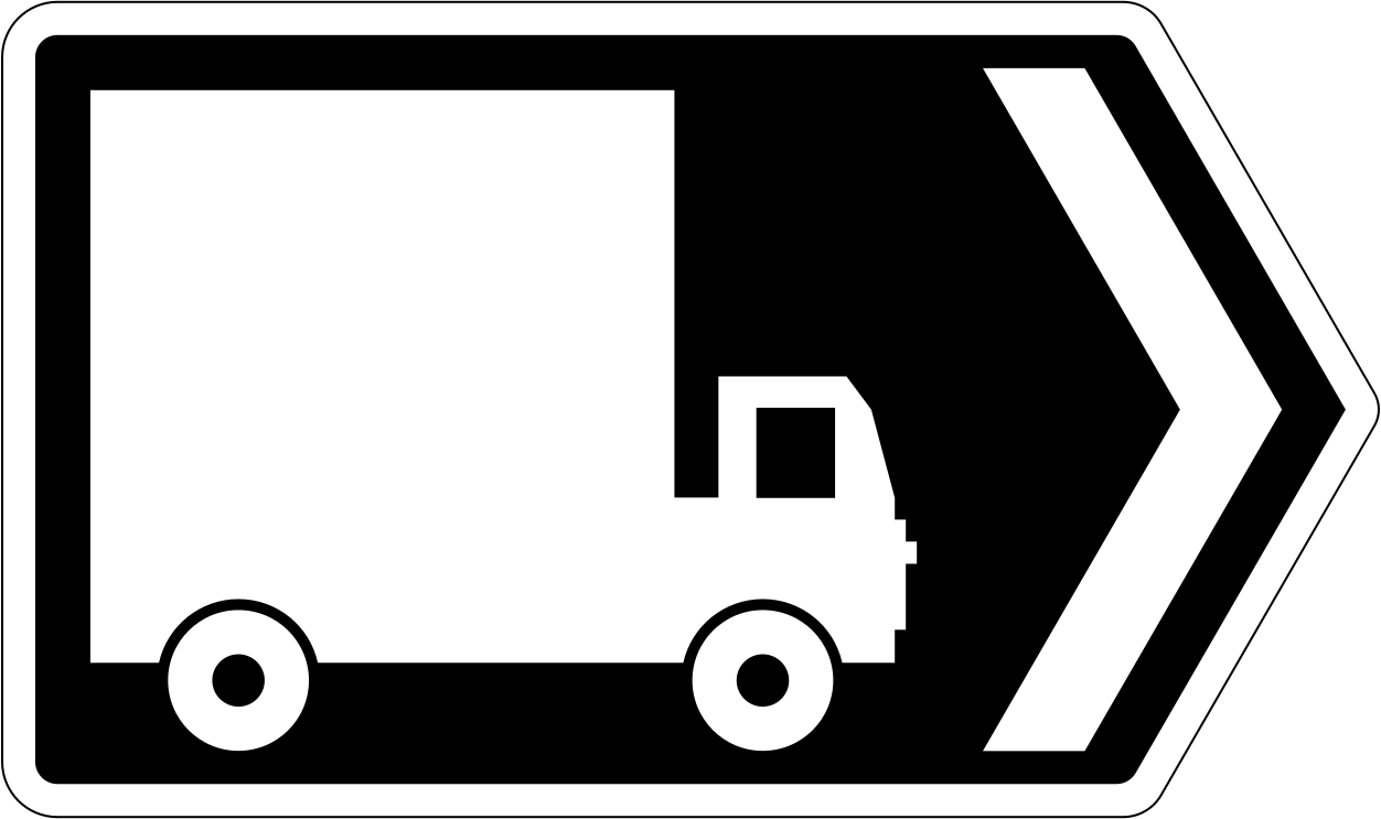
High vehicles turn right here
High vehicles take the road to the right from where this pointed sign stands, which marks the turn.
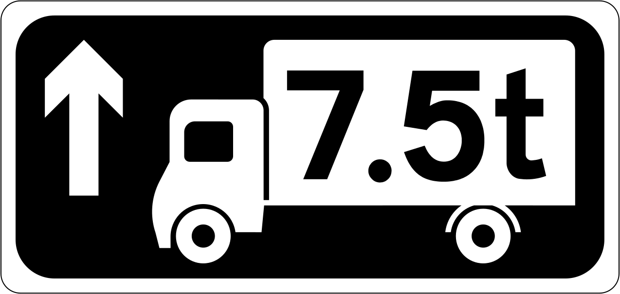
Heavy goods route straight ahead
The 7.5t marked on the lorry shows which traffic the route is meant for, and heavy goods vehicles carry straight on from here.
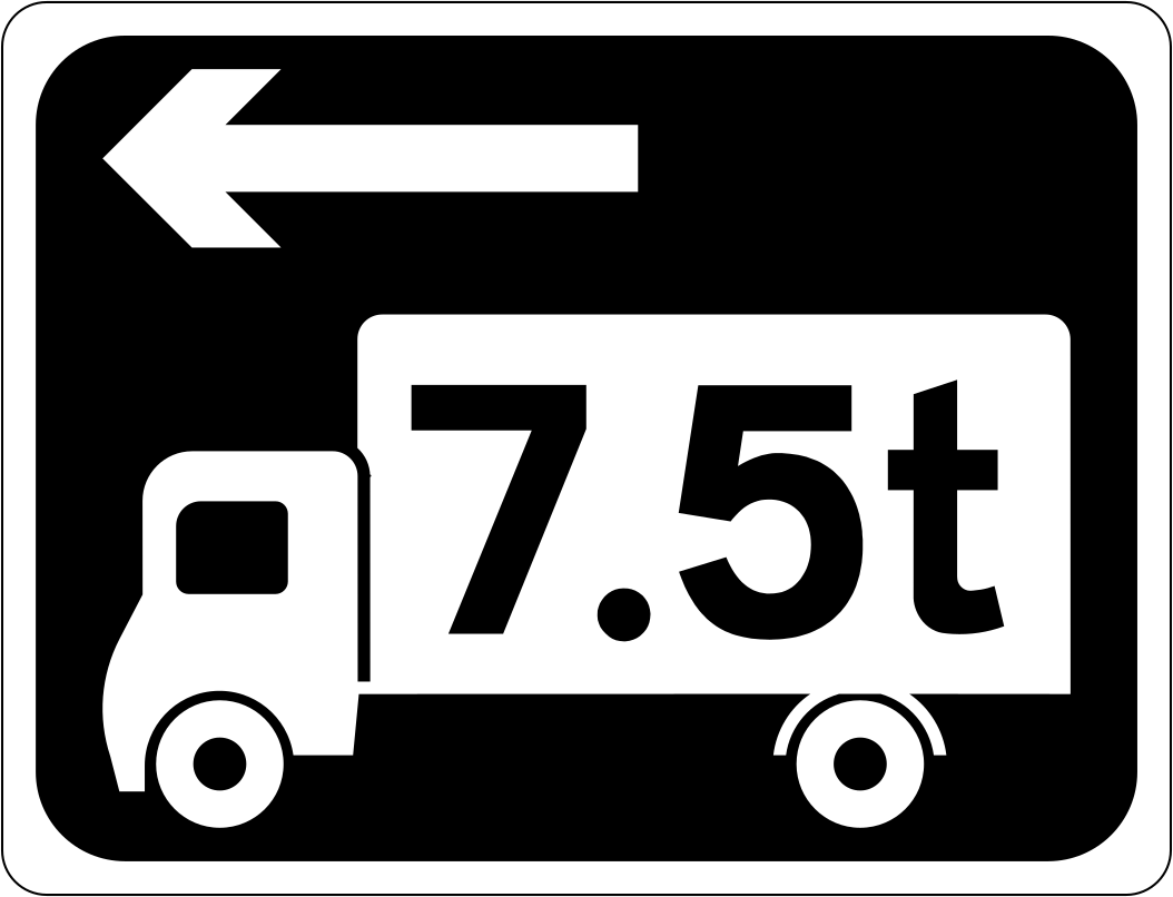
Heavy goods route to the left
The lorry symbol carries 7.5t to show the weight the heavy goods route covers, which turns left at the junction.
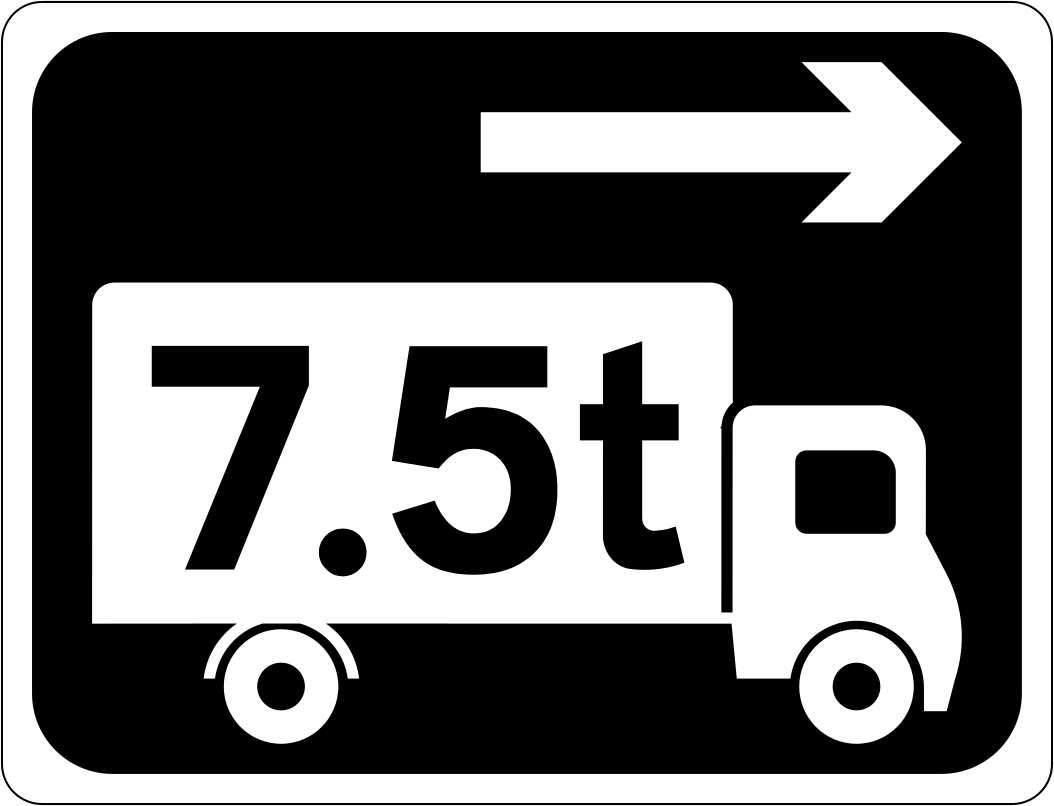
Heavy goods route to the right
Lorries marked 7.5t are directed to the right at the junction further on.
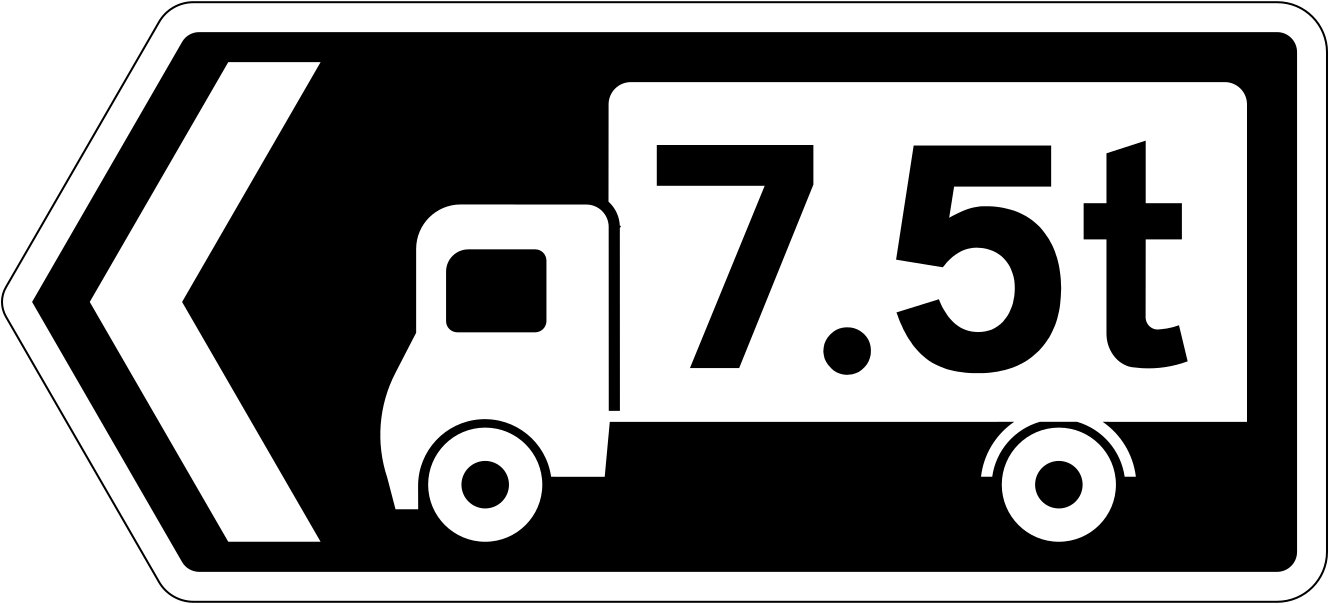
Heavy lorries turn left here
At this point the 7.5t marking tells lorry drivers to turn left, and the pointed sign marks that turn rather than one further on.
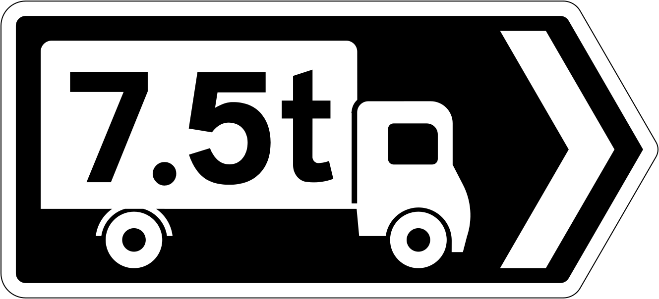
Heavy lorries turn right here
If you are driving a heavy goods vehicle of the weight shown on the lorry symbol, turn right here.
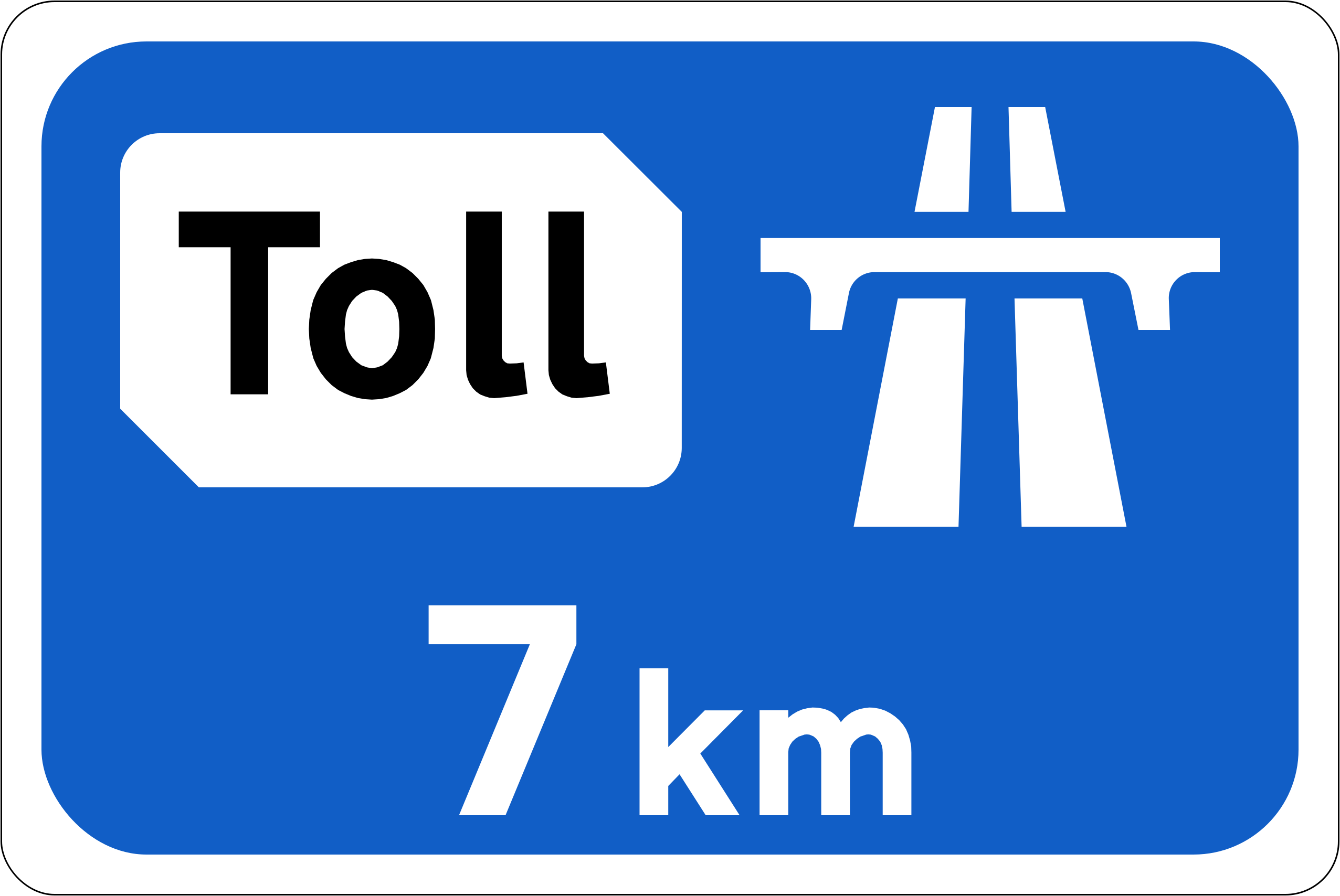
Toll motorway ahead
The distance on the sign shows how far it is to the tolled section of the motorway, where a toll is charged.
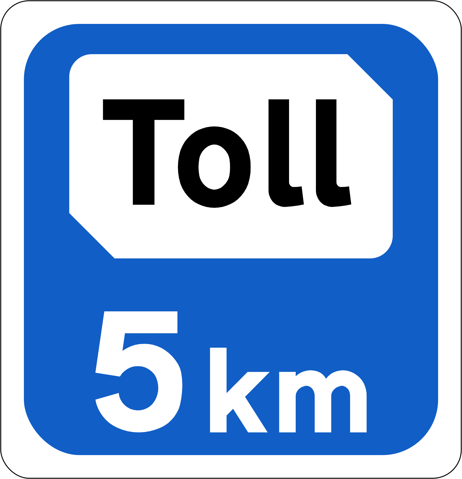
Distance to the toll
The figure tells you how far it is, giving time to get ready to pay: there is a toll further along this road.
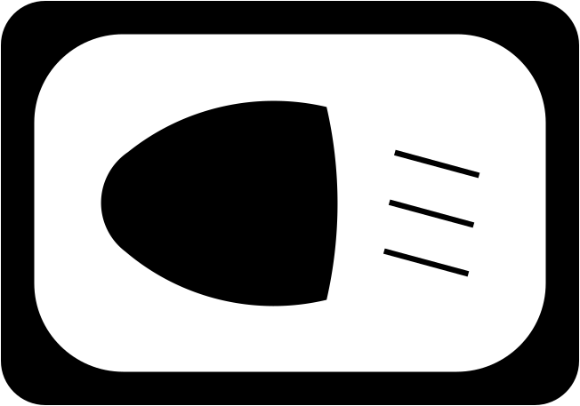
Switch on your headlights
This sign asks drivers to switch their headlights on from here, as the headlamp and its beam show.
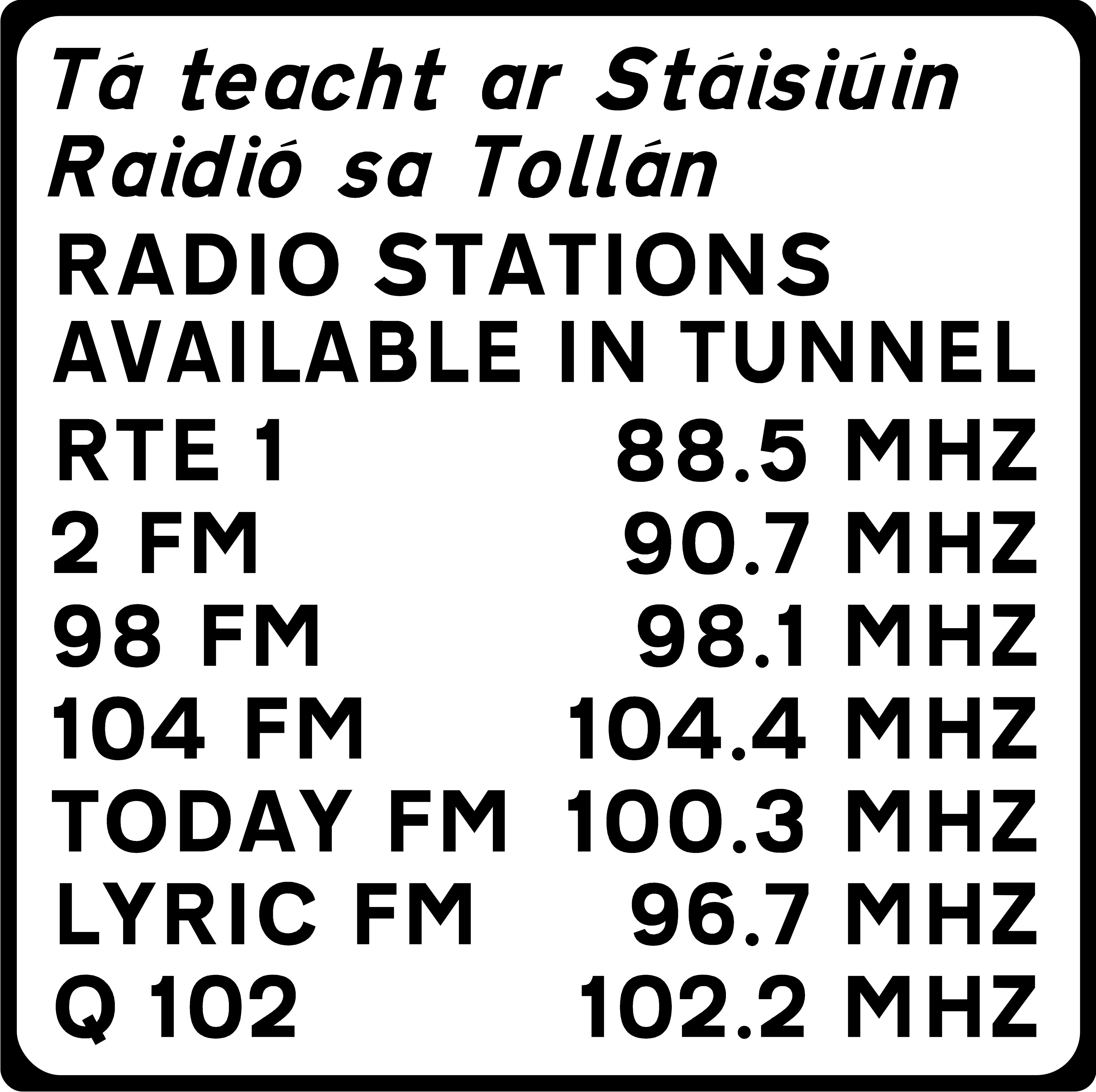
Radio stations in the tunnel
You can keep the radio on as you drive through the tunnel, where the stations listed can be picked up.
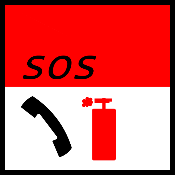
Emergency phone and extinguisher
The SOS panel and the red extinguisher symbol show that an emergency telephone and a fire extinguisher are kept at this point.
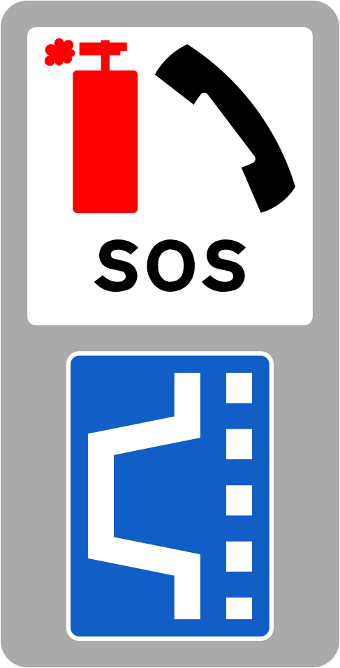
Emergency point with a lay-by
The blue panel shows the lay-by itself: pull into the bay marked here to reach the emergency telephone and fire extinguisher.
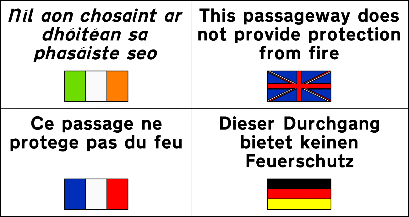
Passage gives no fire protection
The passageway this notice marks gives no protection from fire, as it says in Irish, English, French and German.
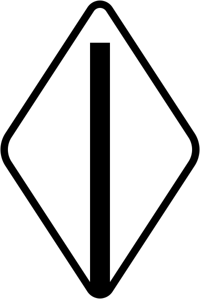
Light rail driver information sign
Rather than an instruction to other road users, the diamond carries information for drivers of trams on a light rail line.

Junction marker post
At a junction, a slim green post with a lighter band marks the point where the side road meets the main road.
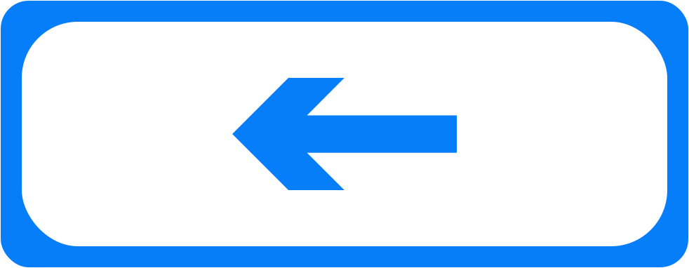
Cycle route direction arrow
The arrow marks the way the signed route runs on this blue plate, fitted with cycle route signs; its direction varies by location.
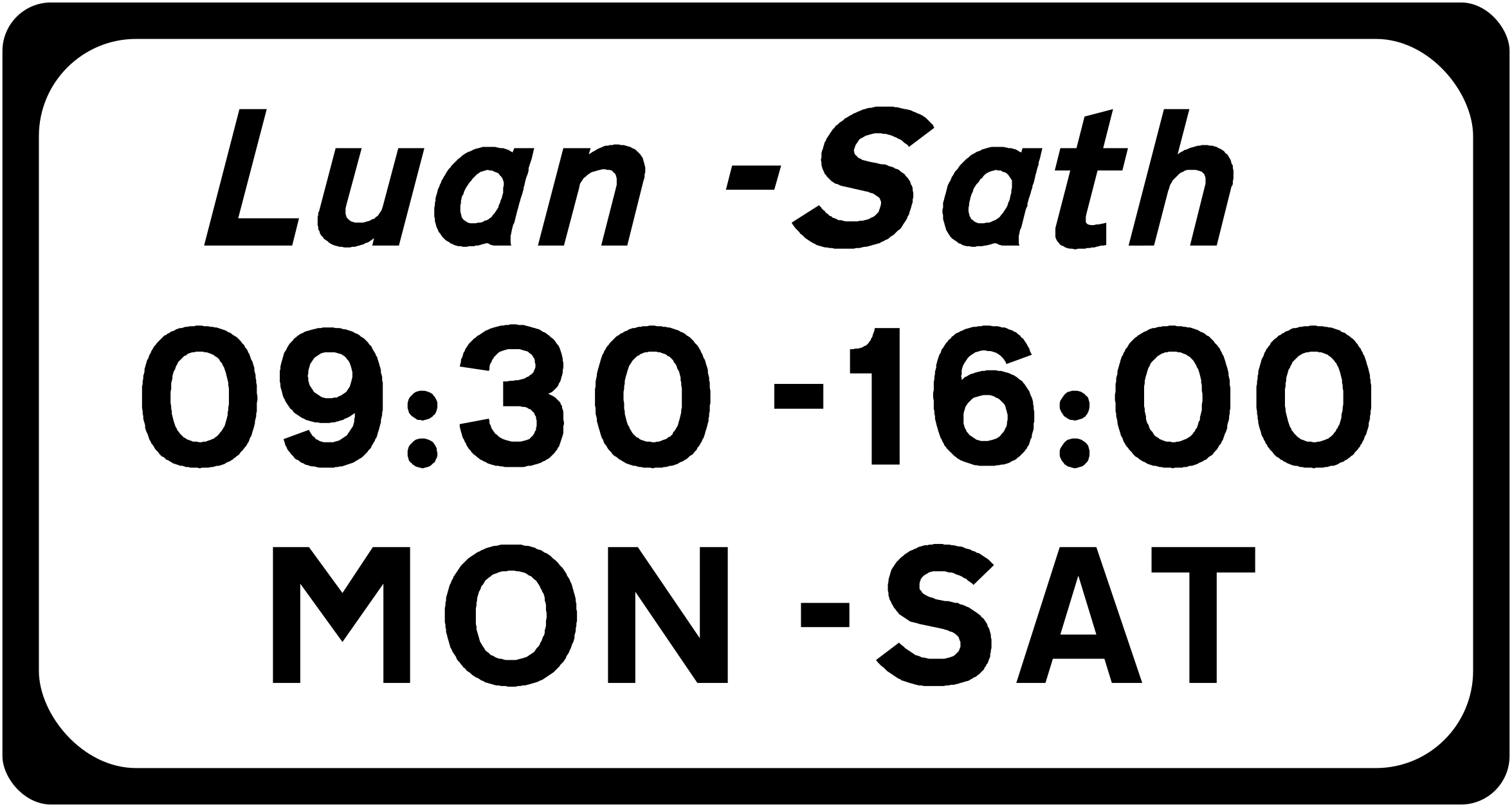
Days and hours of operation
The days and clock times printed here set the period during which the sign above this plate applies; both figures vary by location.
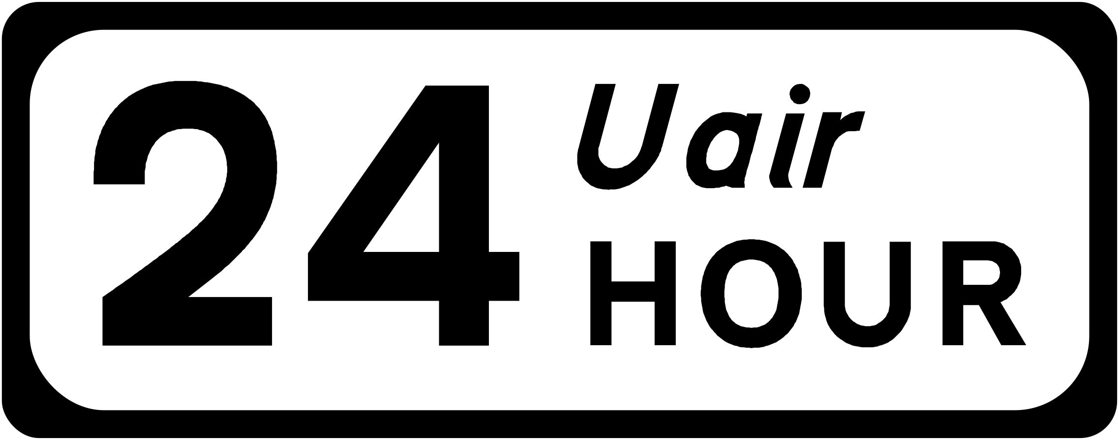
Applies 24 hours a day
The sign above is in force around the clock rather than only within set times where this plate reads 24 hour.
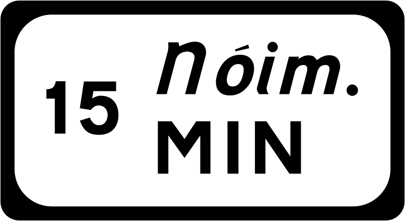
Maximum time allowed, in minutes
The longest period the sign above allows is set by a figure followed by minutes; the number on the plate varies from place to place.
The Traffic Signs Manual numbers a further 97 codes in this chapter. They are not prescribed in the Road Traffic (Traffic Signs) Regulations 2025, and the manual's own wording is not ours to reprint, so they are not listed here. Sources: Department of Transport, Traffic Signs Manual; Irish Statute Book, Road Traffic (Traffic Signs) Regulations 2025, S.I. No. 433 of 2025; checked on 2026-09-15
135 sign codes
Source: Department of Transport, Traffic Signs Manual, Chapter 4 Other Information Signs, Final Version 3 (October 2025), undated, checked on 2026-09-15
Information signs point you somewhere or tell you what is ahead, and they are the family the Regulations leave alone: no F or T code appears in the Road Traffic (Traffic Signs) Regulations 2025. Their designs come from two chapters of the Traffic Signs Manual, the one on other information signs and the one on directional information signs, which we cite by chapter and title rather than copy. What the law does fix for them is language: place names are shown in Irish and in English, with two exceptions.
Place names in two languages
Place names on information signs are shown in Irish and in English. The introduction chapter of the Traffic Signs Manual states the rule, and there are two exceptions to it.
The first is the Gaeltacht. Where a placenames order has been made under the Official Languages Act 2003, only the declared Irish version of the name is used on a road or street sign, because section 33 of that Act takes the English version out of use for those signs. The second is quieter: where the Irish and English spellings of a name are near identical, the Irish form alone is used.
Everything else stays bilingual. All other fixed information and warning signs, including the text plates under them, carry both languages.
Two chapters, one family
The other information signs chapter holds the F series and the T tourist series. The directional information chapter holds the mainline direction signs, including the ones for motorways, and it was last published before the rest of the current set.
Because neither chapter is an enactment, an information sign has no regulation number to quote. That is the difference you notice on this site: a regulatory sign or a road marking carries a legal reference, while an information sign carries a chapter.
An information sign does not set a limit
Only the prescribed speed limit signs set a speed limit: the white disc with the red border under Reg. 33, the periodic sign under Reg. 34, the tunnel sign under Reg. 35 and the electronic sign under Reg. 36. An information panel that mentions speed is telling you about the road, not changing the limit on it.
The reason that matters is section 47(2A) of the Road Traffic Act 1961: in a speeding prosecution the limit shown on a traffic sign is presumed to be the legal limit for that road unless it is shown otherwise. The figure on the prescribed sign is the one that counts.
Sources
Source: irishstatutebook.ie, Road Traffic (Traffic Signs) Regulations 2025 (S.I. No. 433 of 2025), checked on 2026-09-16
Source: irishstatutebook.ie, Road Traffic Act 2004, sections 5 to 9 (speed limits), checked on 2026-09-16